[Mining World Model]

The engine beneath
every decision

Mining data is scattered across surveys, reports, and decades of drilling, in formats that rarely talk to each other. Most of it describes the surface. The decisions that matter are about what lies beneath.
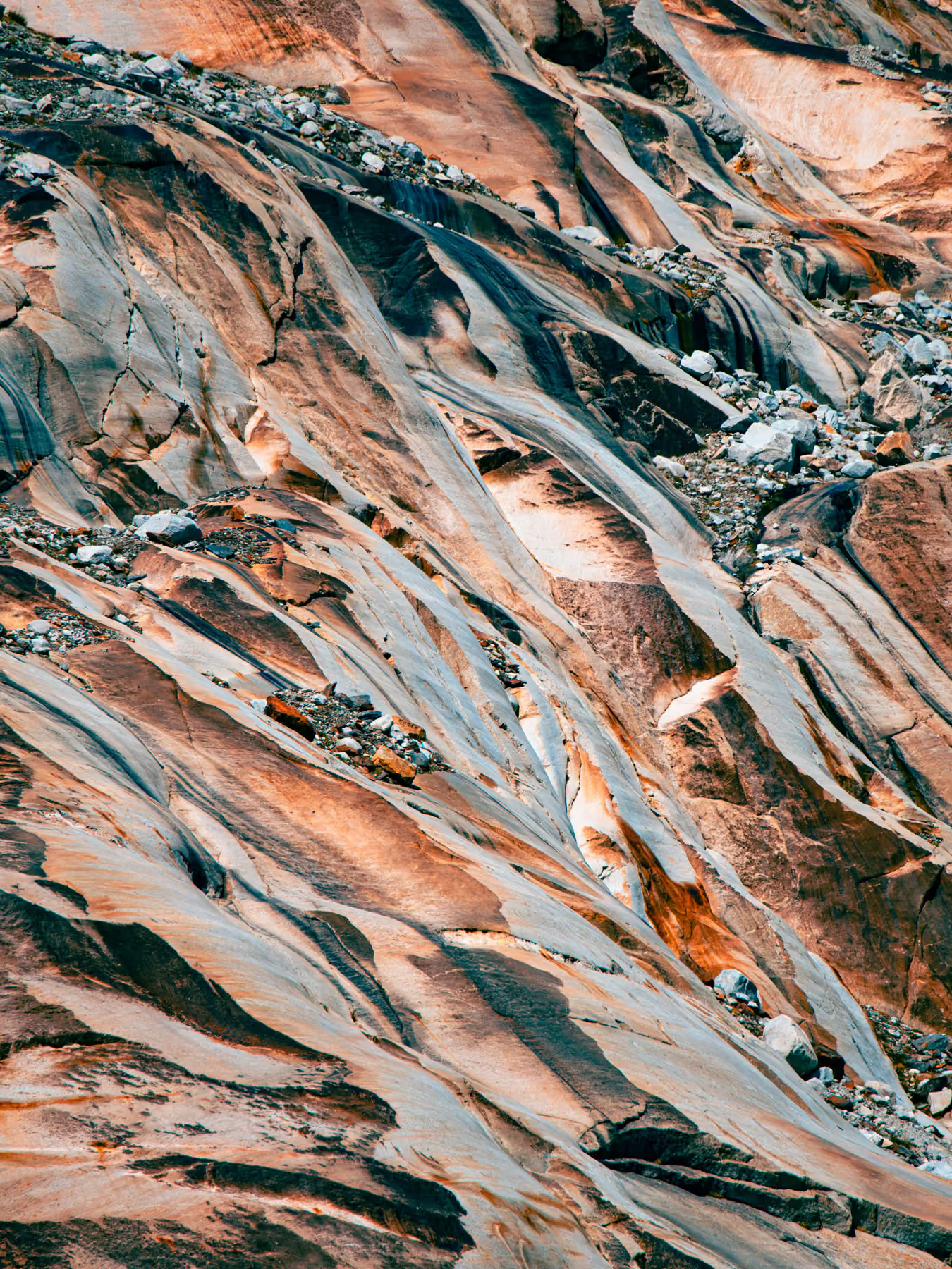
Satellite view of a desert landscape with dark branching riverbeds and light clouds above.Abstract 3D transparent cube glowing with colorful red, blue, and yellow lights on black background.Close-up of multicolored rock formations with smooth, flowing patterns and scattered stones.

[PRODUCT]

Subsurface knowledge,
quantified.

Deep Optica builds 3D subsurface models from geophysical, drilling, and geological data, with quantified uncertainty. Our capabilities support three core offerings for asset owners and explorers.

Tell us about your project
[WHAT IS IT]
One structured picture of the mineral world
Mining Asset Intelligence brings global geological, geophysical, geochemical, and transaction data into a single, continuously updated model. Built on more than 6 million scientific publications, 2 million drillhole records, and 20TB of curated data, it is one of the world's largest integrated geoscience datasets, and the foundation for everything we build.
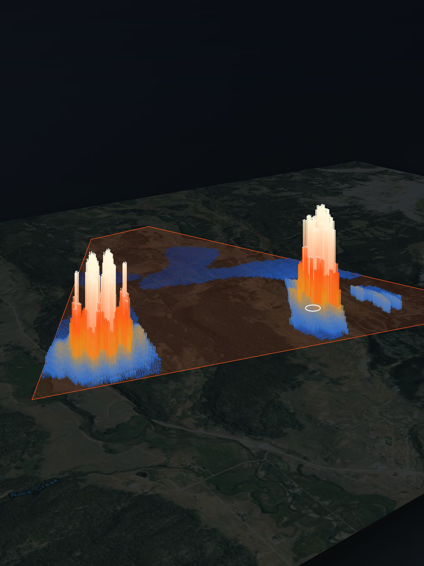
3D heatmap with two high peaks inside a triangular boundary over a satellite map.

[OFFERING 01]

Prospectivity Mapping
and Subsurface Modelling

Generative 3D subsurface models built from geology and geophysics, used to rank ground and targets and to design drill holes. The models do not depend on prior drilling. Where drill data exists, it is added as a constraint to reduce model uncertainty.

  • Prospectivity maps, regional to block scale
  • Generative 3D subsurface models with quantified uncertainty
  • Target ranking and drill-hole design
  • Model updates as drilling reduces uncertainty
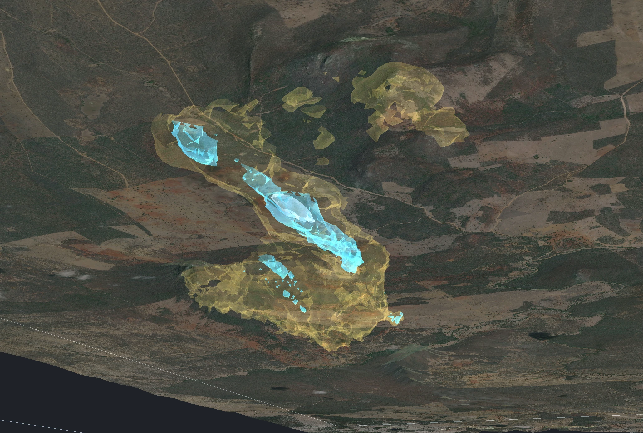
Generative 3D model of an orogenic gold deposit built from geology and geophysics
Generative 3D model of an orogenic gold deposit, built from geology and geophysics without drill-hole data and validated against field observations.
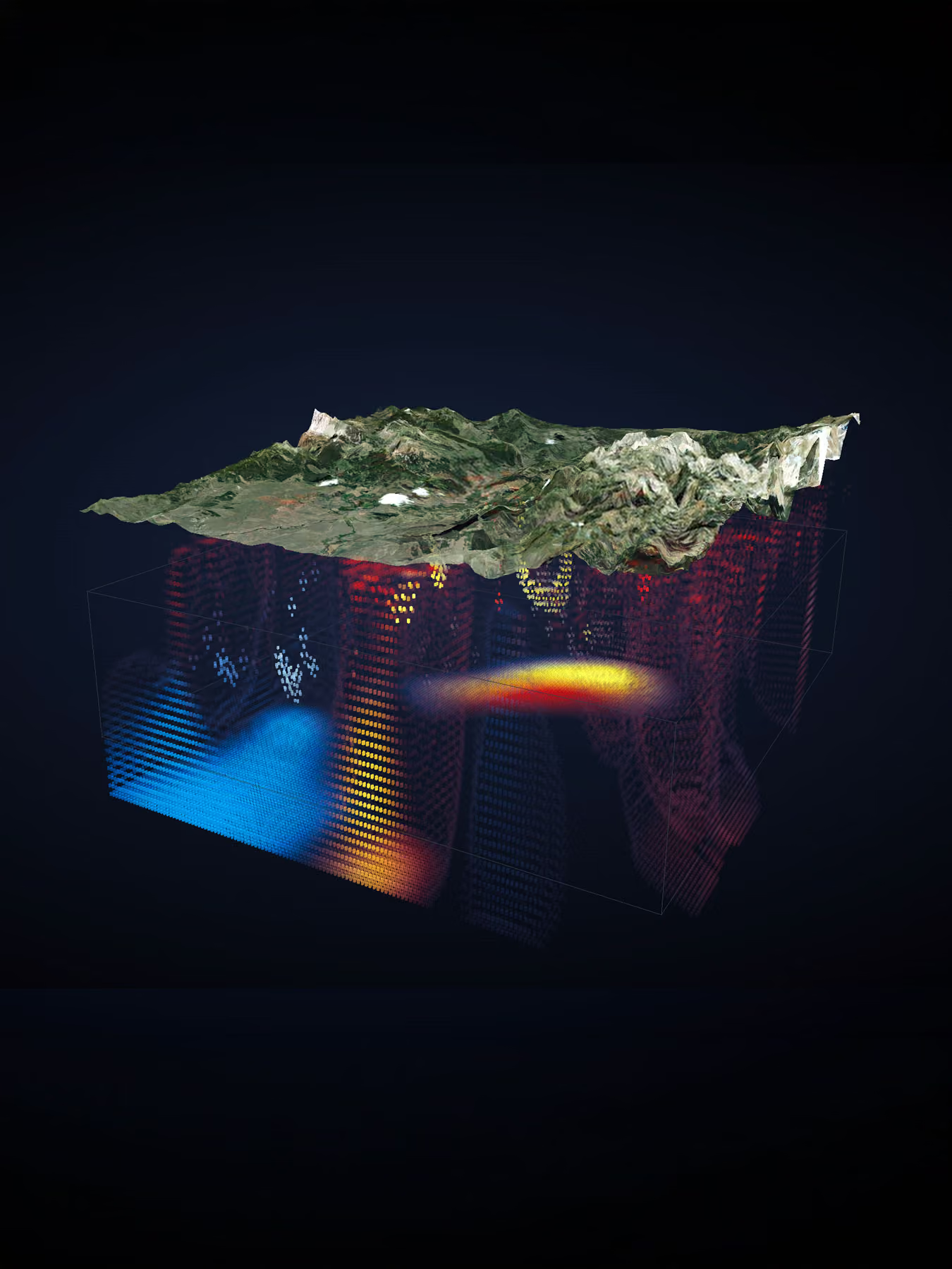
3D topographic landscape map above a color-coded volumetric data visualization cube.
[Exploring beneath the surface]
From above-ground signals to a picture of what’s below
We use the data you can obtain without drilling: geophysics, geology, satellite imagery, and geochemistry. From it we reconstruct subsurface orebody structure in three dimensions. The model assigns a probability to what it finds, so uncertainty is made explicit rather than hidden. You see not only what may be there, but how confident the evidence allows you to be.
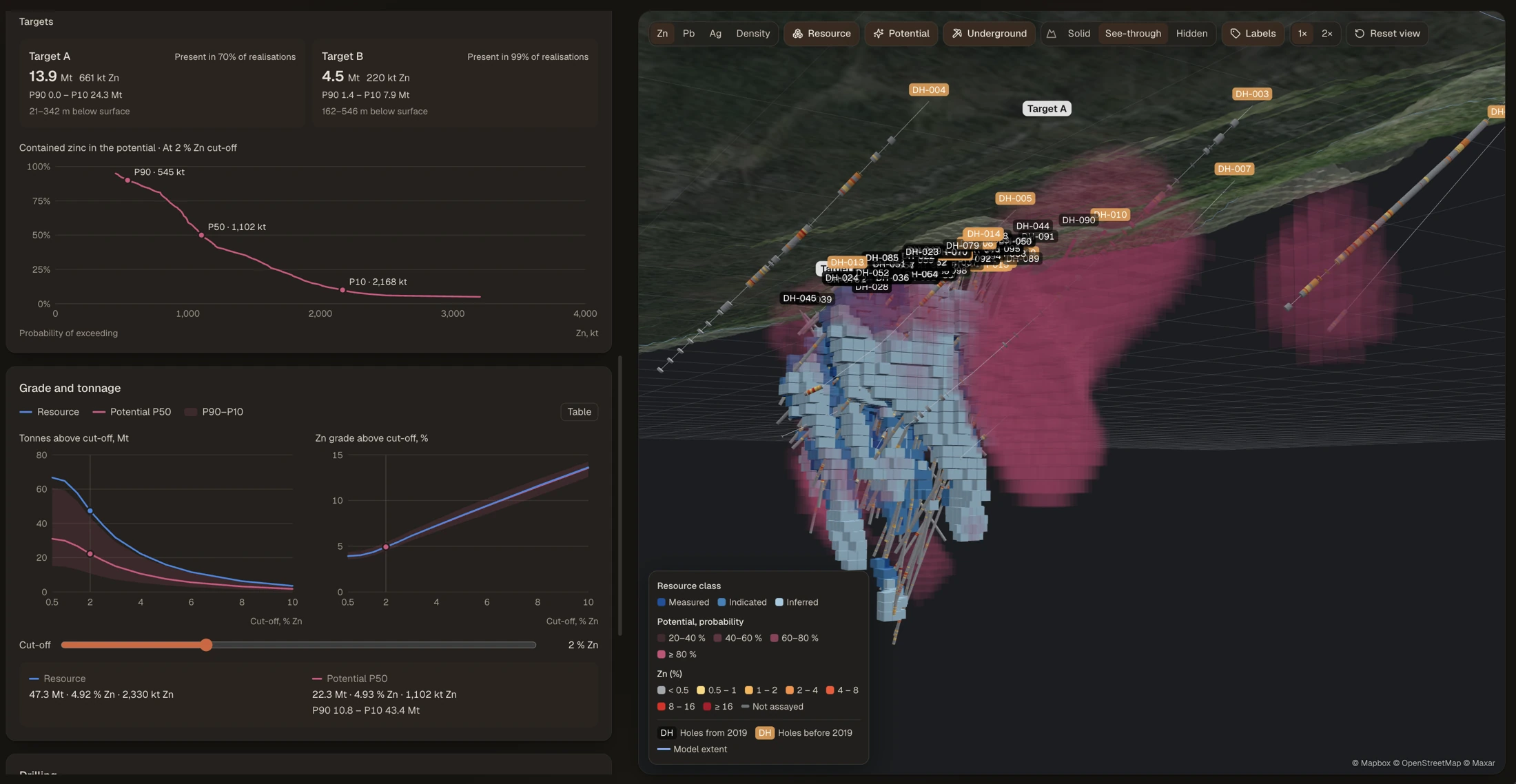
Demo resource analysis with probability curves, grade and tonnage ranges and a 3D drillhole model
Probability ranges and a 3D model, viewed together. Synthetic demonstration data.

[OFFERING 02]

Resource Estimation

Estimates of resource potential before a formal resource exists, or beyond a reported one. Tonnage, grade, and contained metal are given as probability ranges.

  • Low, median, and high cases for tonnage, grade and contained metal
  • Location of upside in 3D
  • Confirmation drilling plan
  • Independent review for transactions and portfolios
[delivery]
Intelligence we apply
This is not a data feed or a terminal you log into. We apply the Mining World Model to your specific question, and deliver answers you can act on.
Abstract 3D holographic cube with glowing blue, yellow, and red light patterns on a dark background.

[OFFERING 03]

Corporate Development
Infrastructure

Delivered through Triango, our corporate development infrastructure platform, which brings project data, technical reports and Deep Optica models into one 3D view.

  • Asset database, strongest in copper, gold, and energy metals
  • Smart VDR: secure data rooms with integrated 3D project pages
  • Unified 3D view of all Deep Optica analytics and results
  • Portfolio views, project screening and cost estimation.
Explore the Platform
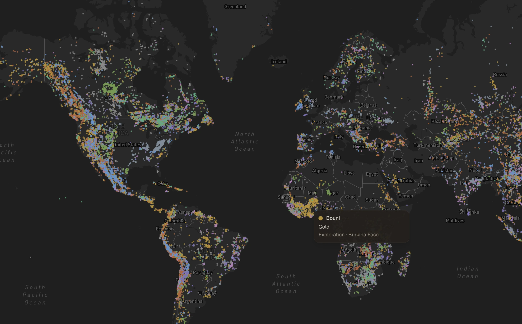
Triango mining asset map showing global coverage across commodities
A collection of practical AI tools, delivered through Triango.
[capabilities]
The same intelligence runs through everything we do, from finding targets to evaluating assets to advising on transactions. Each capability draws on the same ground truth.
arrow rightarrow right
Explore our capabilities
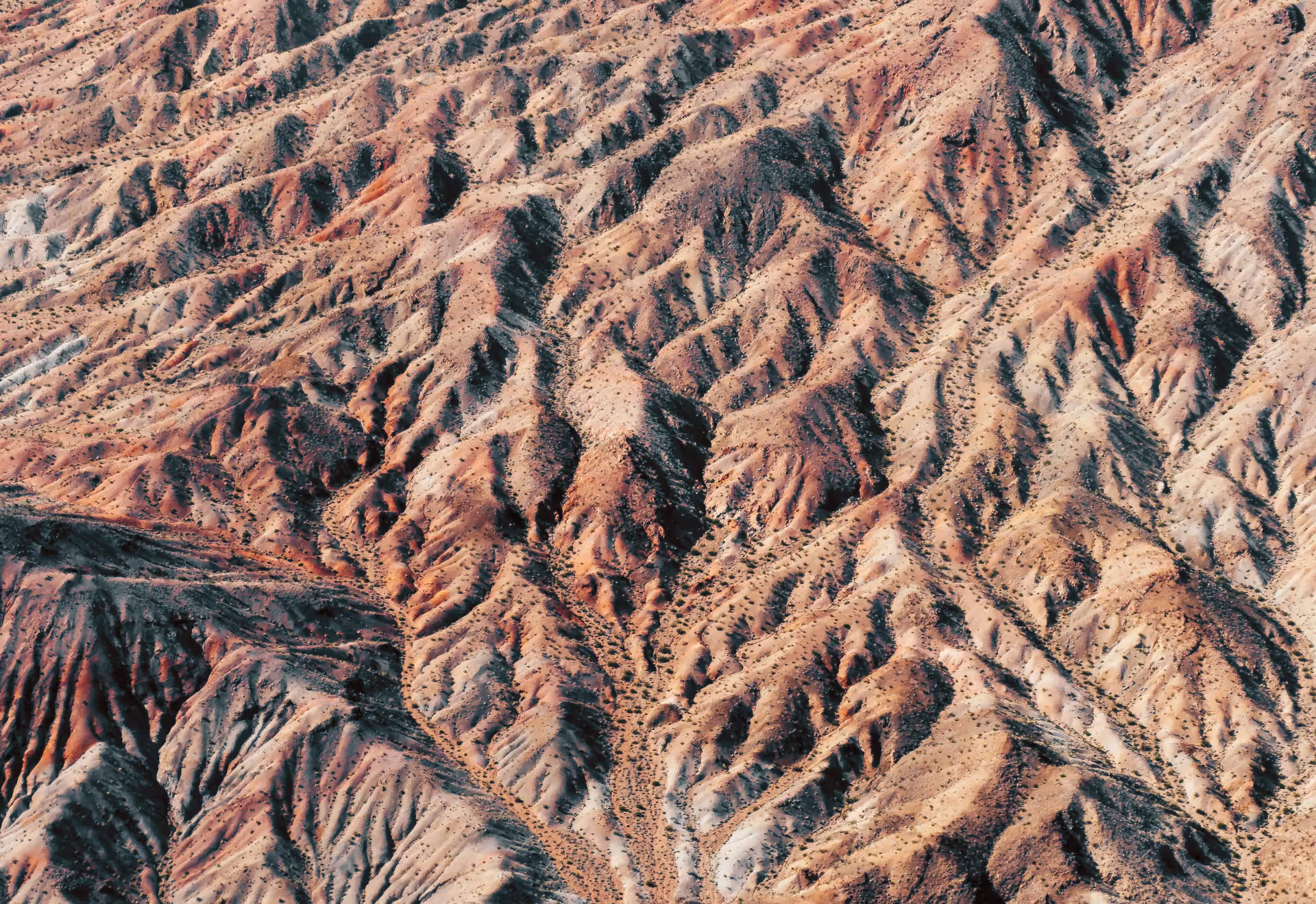
Aerial view of a rugged desert landscape with eroded hills and sparse vegetation.

[CORE TECHNOLOGY]

In-House AI Engines

Mining World Model provides a probabilistic view of the subsurface: possible structures, confidence levels and questions still to be tested. Our in-house engines help turn project evidence into models that support the next exploration decision.

GeoAscent

Automated geophysical modelling across survey types, serving as our foundational engine for uncertainty reduction.

GeoFlow

3D geological modelling from sparse drill data.

[FAQ]

Your project questions,
answered.

Start with your next decision. We’ll help you understand what the available data can support.

I lead an exploration team. How can you help?

Before each drilling season, we test competing interpretations, rank targets and recommend hole positions. Once results are in, we update the models.

I own a project or run a junior miner. Where do we start?

We assess resource potential and help define the next drilling programme. A 3D project page in Smart VDR brings the evidence together for discussions with potential partners.

I’m evaluating an acquisition or portfolio. What can you review?

Before a transaction, we assess resource potential beyond the technical report using probability ranges for tonnage, grade and contained metal. After a transaction, we support drilling to grow project understanding. We also support annual technical reviews of royalty and streaming portfolios.

Can you support a government or geological survey?

We assess mineral belts or provinces using airborne surveys and geological maps, rank blocks by potential and present the results in a data room for licensing rounds.

What data do you need?

Geophysical surveys, drillholes, maps or technical reports. Public data is often sufficient for an initial review. We begin by checking what is available and explaining its limitations.

Does this replace geologists?

No. Geologists set model constraints, assess the interpretations and make the decisions.

How are results checked?

Predictions are recorded before drilling and checked against core and assays. Data limitations are stated in advance.

Are these reportable resource estimates?

No. Reportable estimates under JORC or NI 43-101 require review and sign-off by a Competent or Qualified Person. Our work supports that process.

How does an engagement start?

With one target or asset, a data review and agreed success criteria, often including a blind test.

[CONTACT]

Project Enquiries

Send a target, project or portfolio for an initial data review.

TELL US ABOUT YOUR PROJECT

The resource estimation illustration uses synthetic demonstration data.