[Mining World Model]

The engine beneath
every decision

Mining data is scattered across surveys, reports, and decades of drilling, in formats that rarely talk to each other. Most of it describes the surface. The decisions that matter are about what lies beneath.
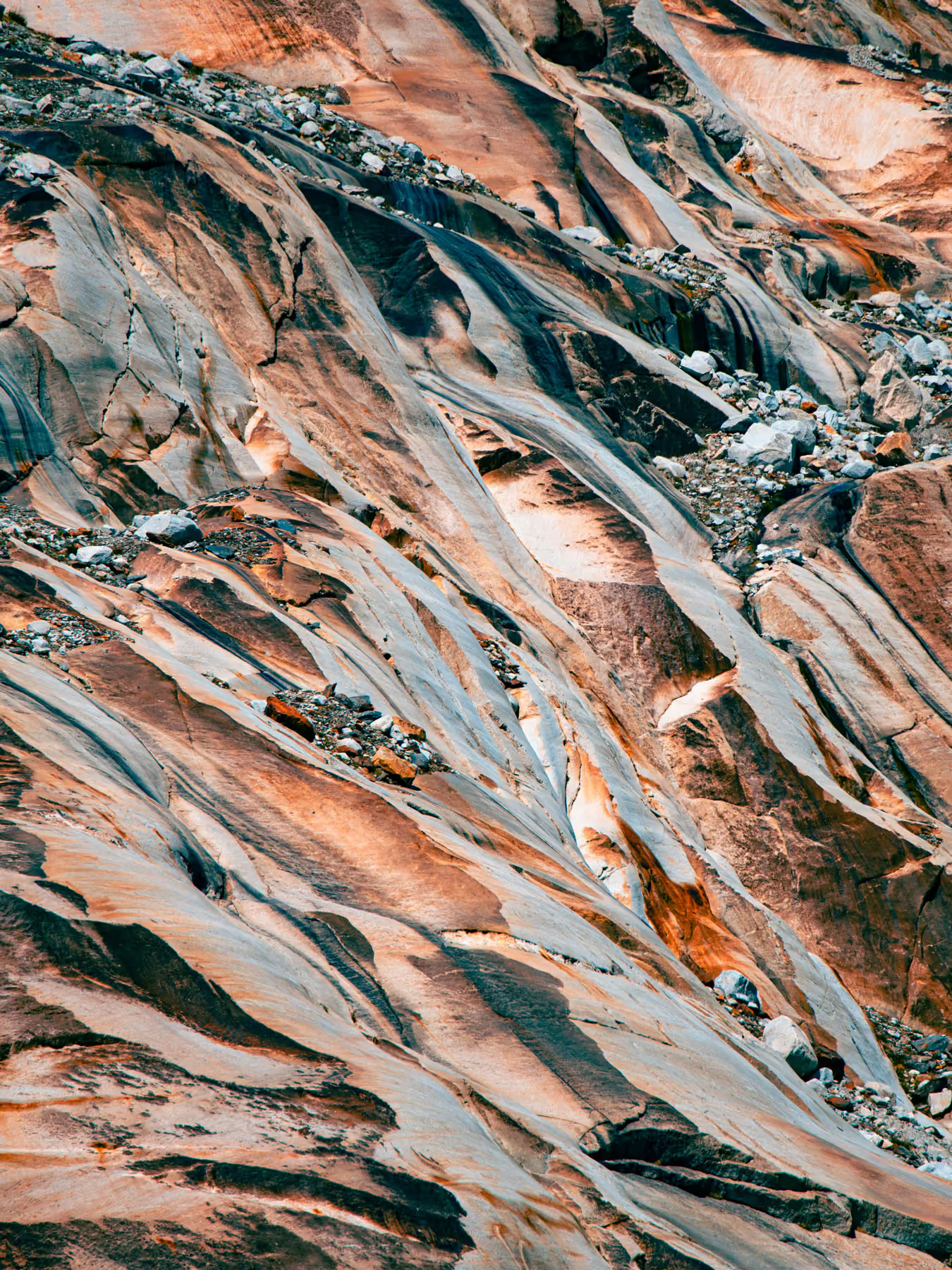
Satellite view of a desert landscape with dark branching riverbeds and light clouds above.Abstract 3D transparent cube glowing with colorful red, blue, and yellow lights on black background.Close-up of multicolored rock formations with smooth, flowing patterns and scattered stones.
[WHAT IS IT]
One structured picture of the mineral world
Mining Asset Intelligence brings global geological, geophysical, geochemical, and transaction data into a single, continuously updated model. Built on more than 6 million scientific publications, 2 million drillhole records, and 20TB of curated data, it is one of the world's largest integrated geoscience datasets, and the foundation for everything we build.
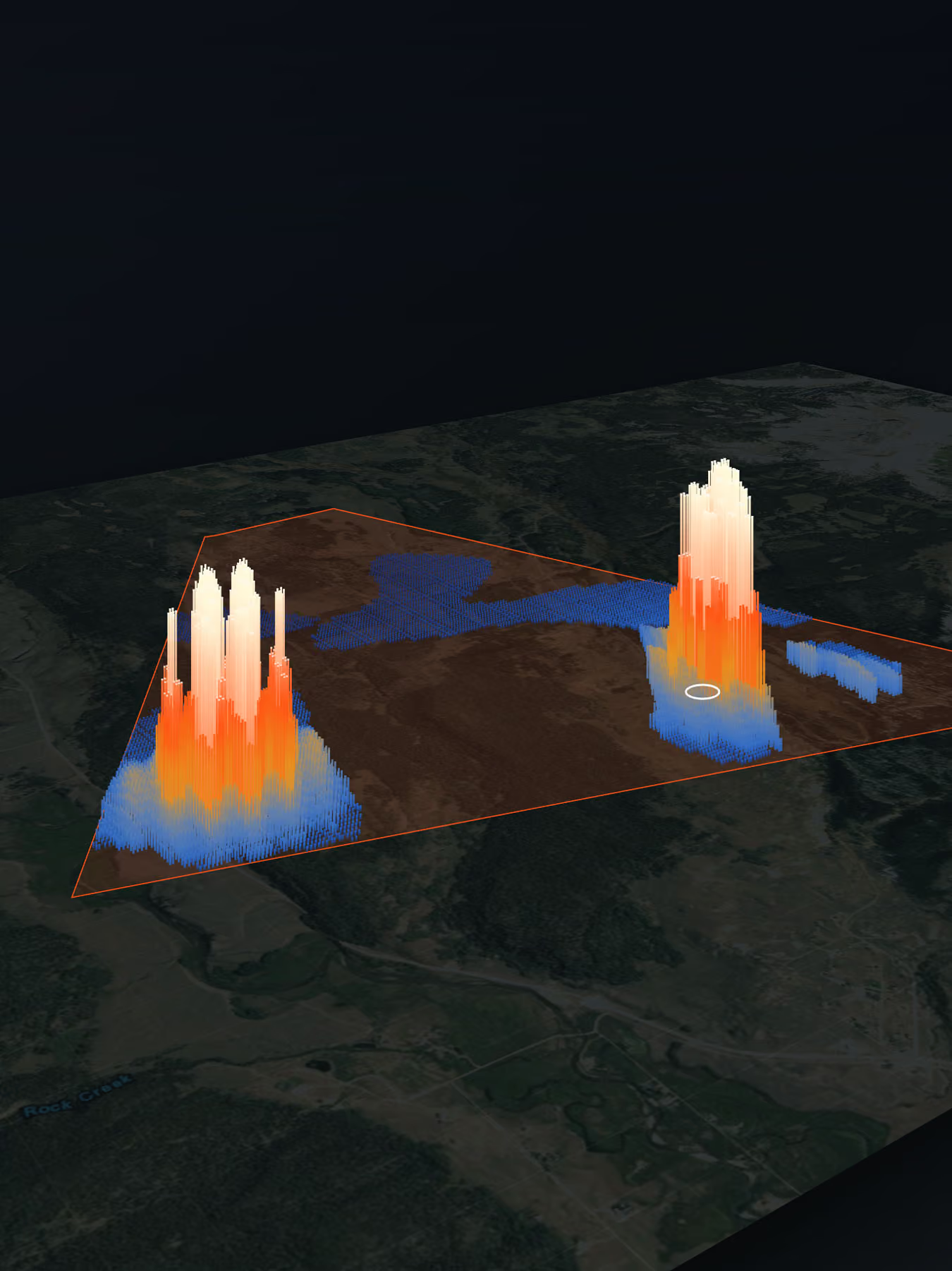
3D heatmap with two high peaks inside a triangular boundary over a satellite map.
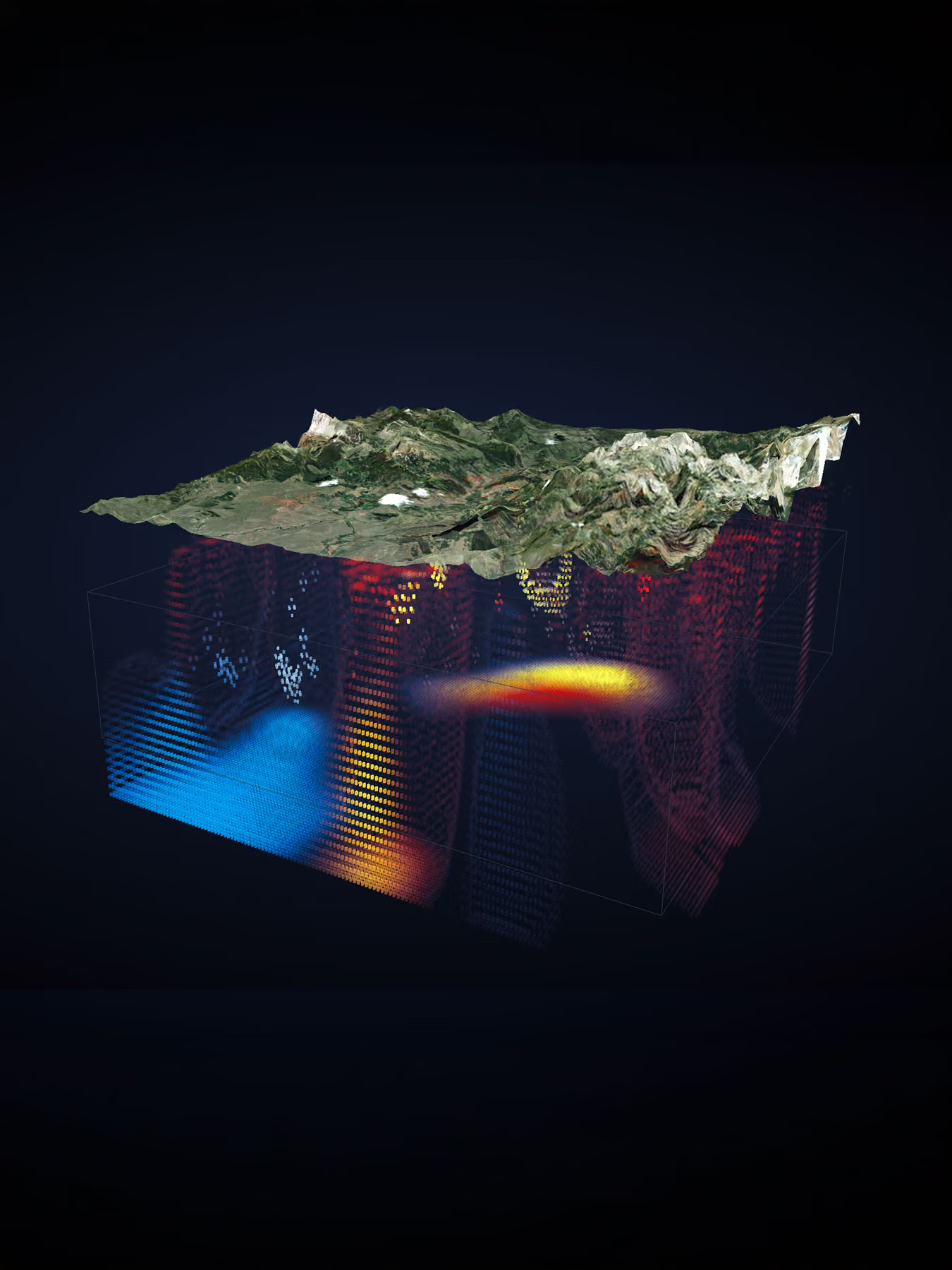
3D topographic landscape map above a color-coded volumetric data visualization cube.
[Exploring beneath the surface]
From above-ground signals to a picture of what’s below
We use the data you can obtain without drilling: geophysics, geology, satellite imagery, and geochemistry. From it we reconstruct subsurface orebody structure in three dimensions. The model assigns a probability to what it finds, so uncertainty is made explicit rather than hidden. You see not only what may be there, but how confident the evidence allows you to be.
[delivery]
Intelligence we apply
This is not a data feed or a terminal you log into. We apply the Mining World Model to your specific question, and deliver answers you can act on.
Abstract 3D holographic cube with glowing blue, yellow, and red light patterns on a dark background.
[capabilities]
The same intelligence runs through everything we do, from finding targets to evaluating assets to advising on transactions. Each capability draws on the same ground truth.
arrow rightarrow right
Explore our capabilities
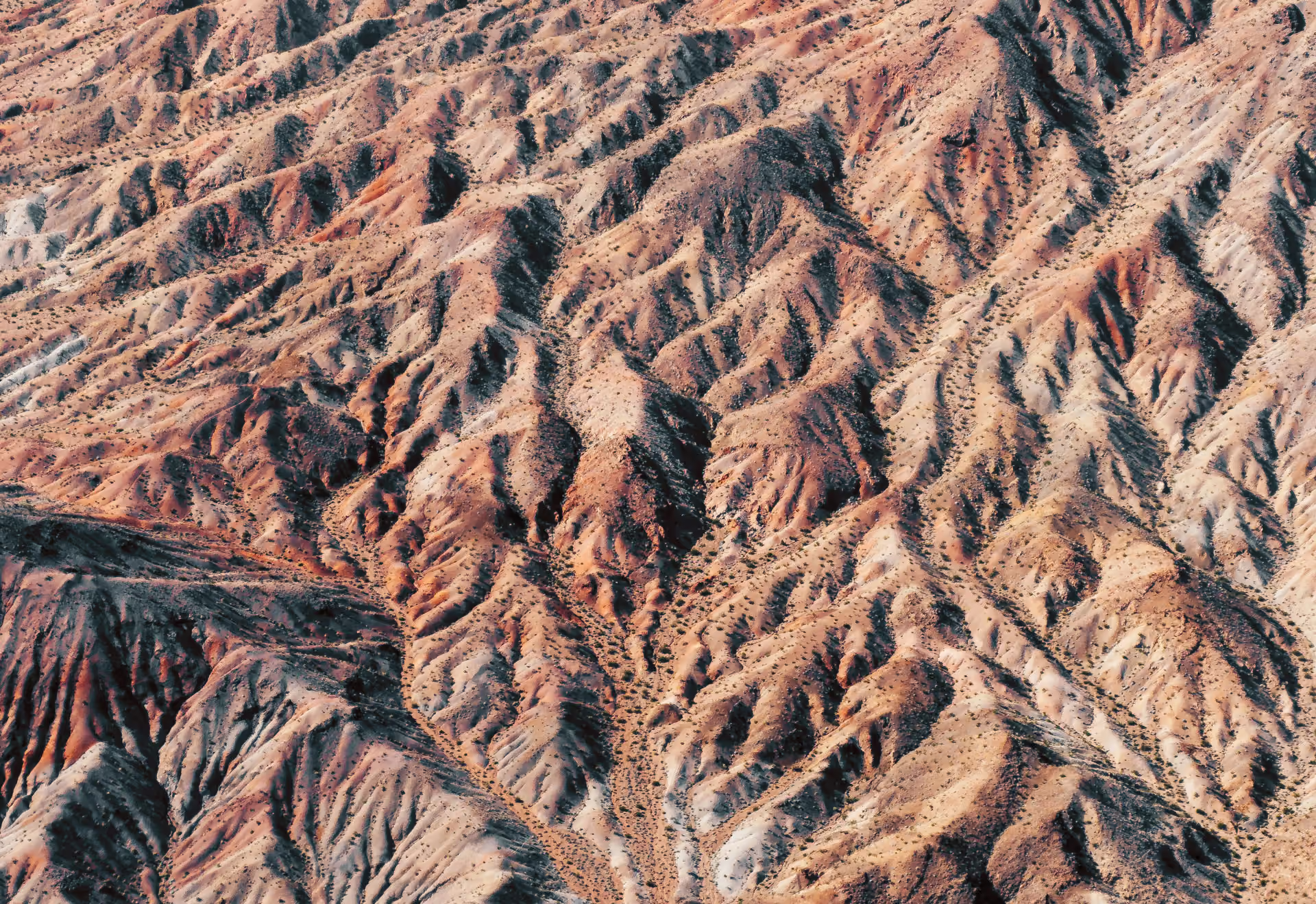
Aerial view of a rugged desert landscape with eroded hills and sparse vegetation.
[FAQs]
Common questions
If you don’t see your question here, we’re always available to help. Get in touch to discuss your needs, explore opportunities, or clarify how we work.
arrow rightarrow right
get in touch
What data goes into the model?
arrow up
Public and private geoscience data, from geophysics and geology to geochemistry, remote sensing, and drilling records, augmented with synthetic geological data to strengthen the training set.
How is this different from a conventional survey?
arrow up
A survey describes one site at one moment. Mining Asset Intelligence integrates global data into a model that reconstructs structure at depth and quantifies the confidence in its findings.
Is it a data subscription?
arrow up
No. We apply the intelligence on your behalf and deliver reviewed answers, not raw data access.
How do you handle uncertainty?
arrow up
We make it explicit. Every estimate carries a probability, so you can weigh confidence as part of the decision.
[START WITH DEEP OPTICA]
Looking at a project, portfolio, or transaction?
Whether it is a single asset or a strategic move, we would be glad to talk.
get in touch
get in touch