The trouble with "Google Maps for ore"
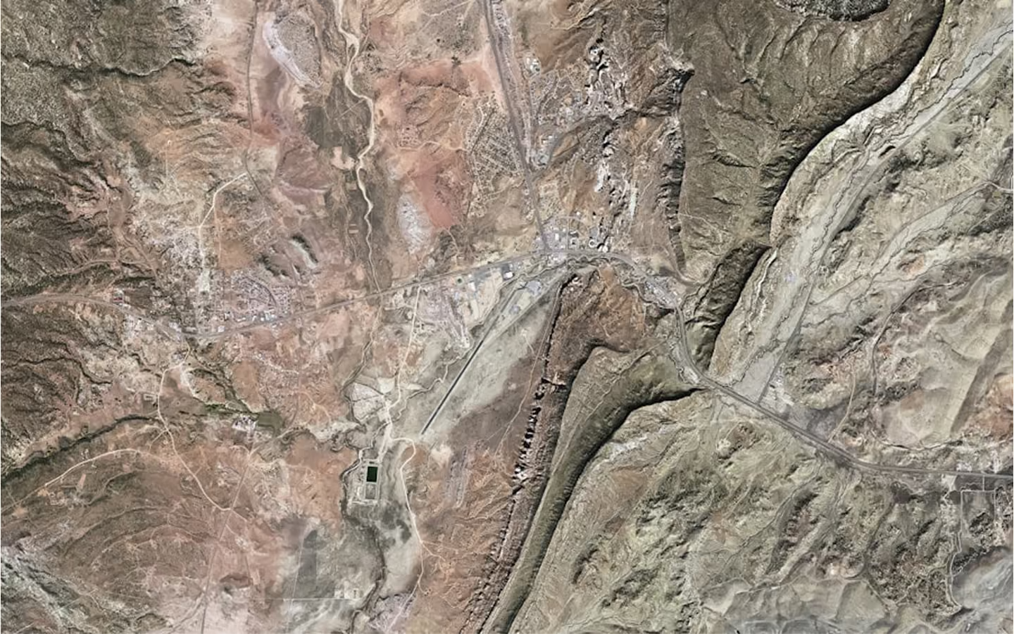
A map shows the known. Exploration faces the unknown.
Google Maps works because the ground truth already exists. Every road has been driven, every junction logged, every building surveyed. The map reports what is known with near-certainty.
The subsurface is the opposite. It is mostly unobserved, inferred from a thin scatter of drillholes and indirect geophysics. There is no verified street beneath the map. There is a probability that copper sits at depth, based on patchy evidence. Dressing that up as a street map does not make the ground more known. It makes the uncertainty invisible, which is worse.
Certainty is the wrong promise
The map metaphor makes a promise geology cannot keep: that the answer is fixed, complete and simply retrievable. When a target fails, and targets fail often, the promise curdles. The investor was sold a location and handed a gamble dressed as a certainty.
The better promise is quieter and more useful. Not "the ore is here", but the ore is most likely here, this is our confidence, and this is the evidence. That is not a map. It is a considered judgement about odds, which is what exploration actually is.
What to trust instead
Be wary of any tool that shows the subsurface with the confidence of a satnav. The ground does not offer that, and a model that claims to is hiding its own uncertainty.
Trust the models that show their probabilities, their evidence and their limits. They promise less because they respect the problem more. In exploration, the honest map is the one that admits how much of the territory it cannot yet see.